Geographic index
Choose a country.
Loading the interactive globe...
Your plotted connection
Click the map to add points. Drag a numbered point to adjust it.
0 km0 points
Exploratory straight-line distances, not travel directions or documented movements.Map controls & sources
Select a country to fly directly into its cityscape. City returns to the selected urban view; Buildings flies closer at a steeper angle. Choose another city, campus or published case location in the side panel. Country and Globe pull back out. Drag to pan; scroll or pinch to zoom. Right-drag or Ctrl-drag to tilt and rotate. Building coverage varies and heights may be estimated.
Satellite imagery: Esri, Vantor, Earthstar Geographics and the GIS User Community. Cartography and buildings: OpenFreeMap / OpenStreetMap. Country outlines and city reference points: Natural Earth. Selected campus views retain their SECCON sources; case coordinates cite the original ODINT record. Live imagery and city detail require an internet connection.
Most documented countries
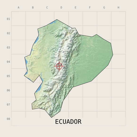 Ecuador
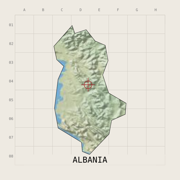 Albania
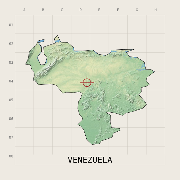 Venezuela
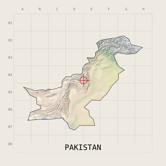 Pakistan
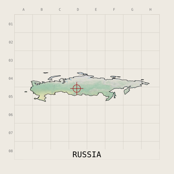 Russia
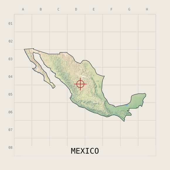 Mexico
No matching country. Try a different name.